Hours, prices and access verified by the Xunantunich Tours team — last checked 2026-08-28
The ridge, the climb, the frieze and the crossing. Every photograph here is
of Xunantunich or of somewhere a Xunantunich departure actually takes you.
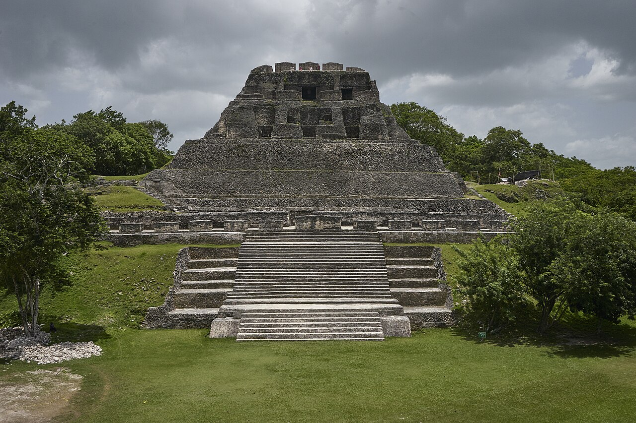
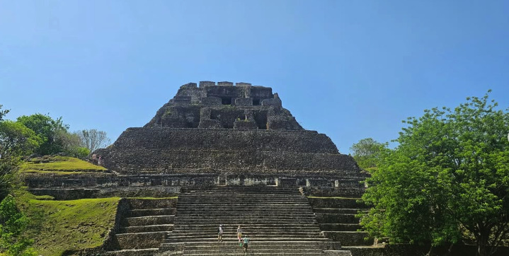
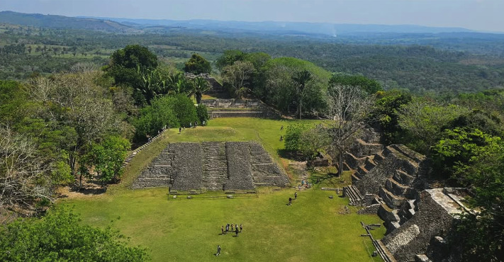
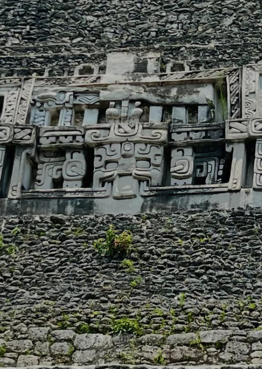
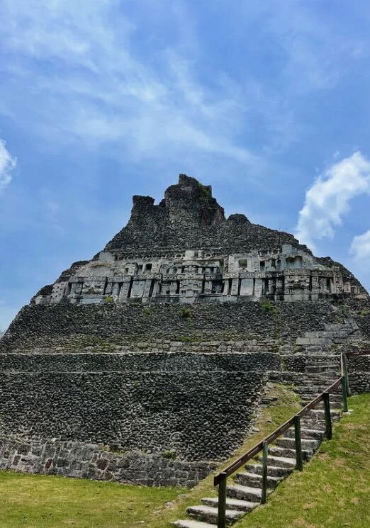
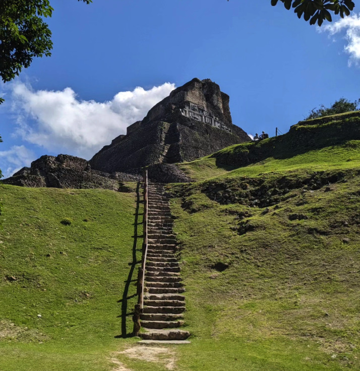
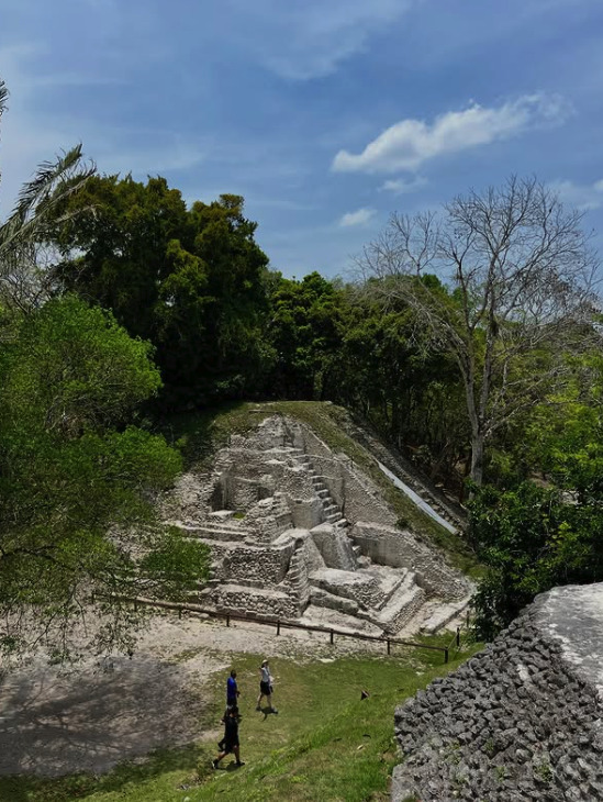
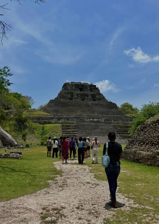
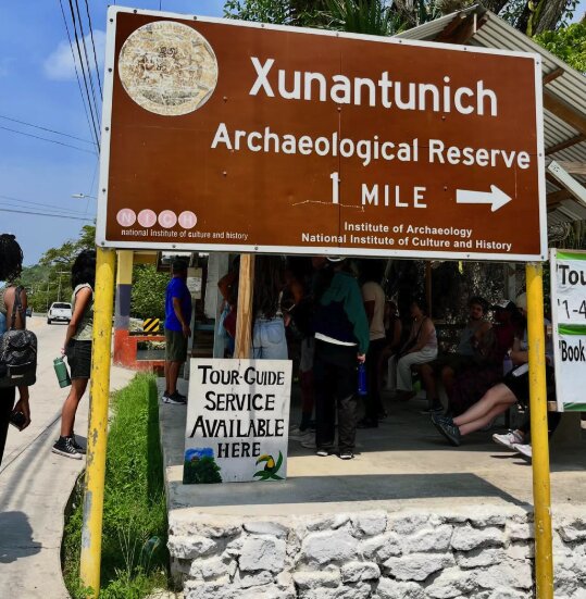
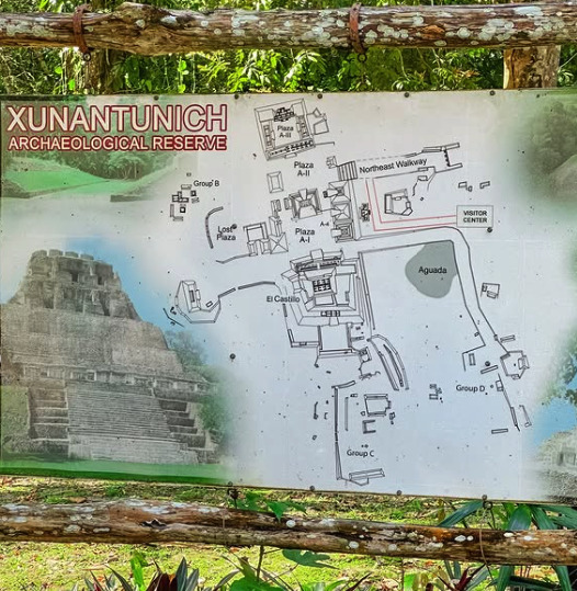
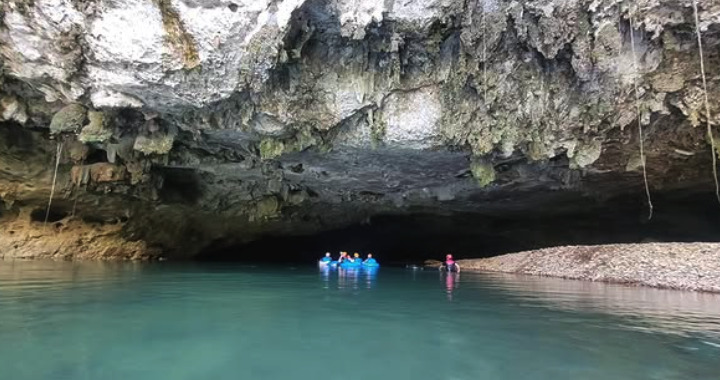
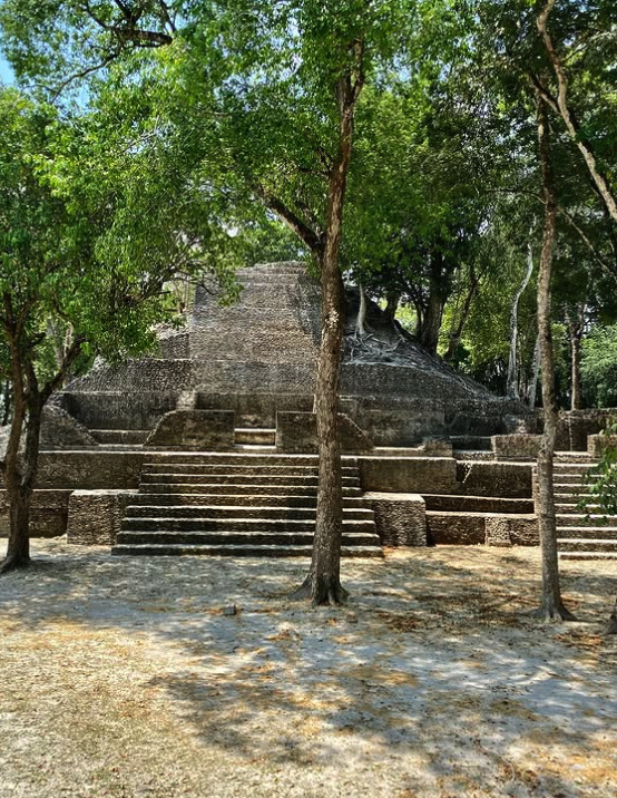
El Castillo at Xunantunich seen head-on from Plaza A-I under a storm skyThe wide stone stair climbing to El Castillo at Xunantunich on a clear morningThe plazas of Xunantunich and the Belize River valley seen from the top of El CastilloThe modelled stucco frieze on the upper temple of El Castillo, close upEl Castillo at Xunantunich from below, with the frieze band and the summit templeThe climbing stair and its handrail running up the grass slope to El CastilloA lower excavated structure at Xunantunich seen from the terraces of El CastilloA guided group walking up the plaza towards El Castillo at XunantunichThe reserve sign at San José Succotz: Xunantunich Archaeological Reserve, one mileThe Xunantunich Archaeological Reserve plan board showing Plazas A-I, A-II and A-IIITubing through the river cave at Nohoch Che'en, the reserve most Xunantunich combos visitCahal Pech above San Ignacio, the second Maya site three Xunantunich tours visit
The frieze and the named structures are explained on
the structures page; the crossing has
its own page. To see which departure reaches which of these,
Xunantunich Tours lists every departure.